News
Back-to-Back Earthquakes Rattle Indonesia’s Sulawesi and Seram Regions

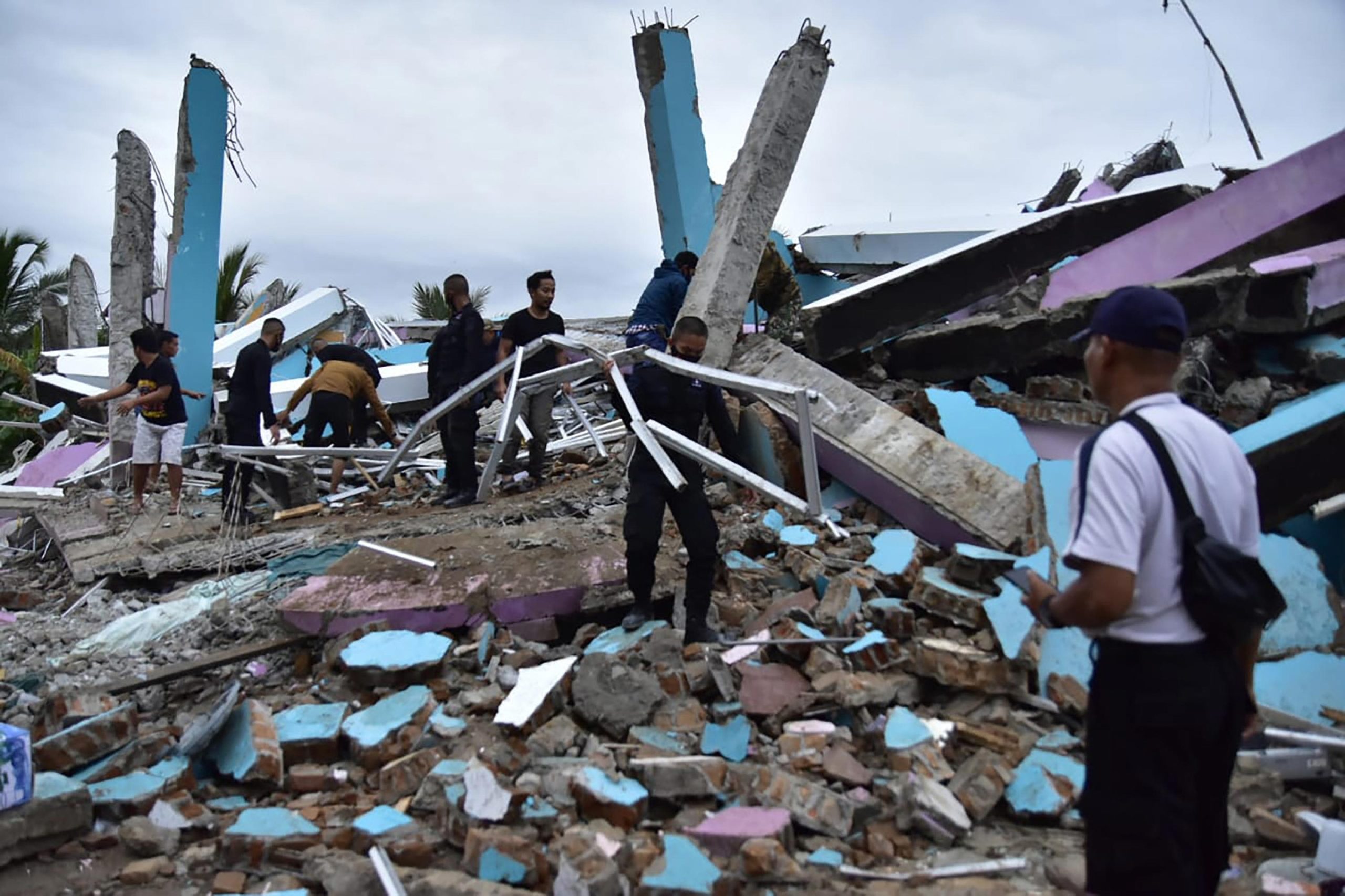
On Thursday, a notable earthquake of magnitude 5.6 struck the Sulawesi region in Indonesia, as reported by the European-Mediterranean Seismological Centre (EMSC).
The seismic event occurred at an approximate depth of 30 kilometers (19 miles) around 13:07:02.6 UTC (18:37 IST).
Despite its moderate intensity, there have been no immediate reports of casualties or damage linked to this quake, suggesting a limited impact on the affected localities at present.
This recent earthquake is part of a continuing sequence of seismic activity in Indonesia’s geologically active region.
The day prior, on Wednesday, a magnitude 5.5 earthquake hit the Seram area in Indonesia.
This earthquake had a shallower focal depth of about 15 kilometers, with the epicenter located roughly 244 kilometers east-northeast of Ambon and approximately 155 kilometers from Amahai.
Similar to the Sulawesi quake, there were no immediate reports of significant damage or casualties from this event.
It emphasizes Indonesia’s resilience and possibly effective local preparedness measures in quake-prone areas.
Further contextualizing these recent quakes, Indonesia has experienced several significant earthquakes this year.
Notably, in July, a stronger magnitude 6.7 earthquake struck off the coast of the Tanimbar Islands at a depth of around 80 to 98 kilometers.
This event, described as an intermediate-depth earthquake related to the Banda Sea plate’s deformation activity, was felt by thousands.
However, it similarly produced a low likelihood of casualties or economic losses.
This is according to the Indonesian Meteorology, Climatology, and Geophysics Agency (BMKG) and international monitoring centers.
The regional buildings’ vulnerability varies, with many structures constructed from unreinforced brick and concrete prone to shaking effects, although some resistant buildings exist.
Earlier this year in May, a magnitude 4.6 earthquake was recorded in the Northern Sumatra region.
It added to the seismic events Indonesia regularly faces due to its position along the Pacific “Ring of Fire.”
This arc, notorious for intense tectonic activity, runs from Japan down through Southeast Asia and across the Pacific basin, making Indonesia one of the most earthquake-prone countries in the world.
The Sulawesi region itself has a history of seismic events ranging from moderate to severe magnitudes over recent years.
In particular, a strong earthquake (6.3 magnitude) hit Sulawesi in late July 2025 at a depth of 144 kilometers.
This quake was felt by millions across multiple regions, but without causing significant casualties or structural damage.
The event was characterized by thrust faulting, typical for subduction zones in this seismically active area.
Residents were advised to avoid unverified information and ensure structural safety before reoccupying buildings, reflecting ongoing public safety protocols in Indonesia.
Multiple agencies, including the German Research Center for Geosciences (GFZ) and the US Geological Survey (USGS), confirm the recent earthquakes’ parameters.
Some minor discrepancies in depth and magnitude reporting exist due to differences in measuring techniques and real-time data updates.
However, their consensus underscores the ongoing seismic activity affecting Indonesia’s complex tectonic environment.
Despite frequent seismic activity, these recent earthquakes have fortunately resulted in no immediate casualties or major damage.
This reflects the combination of Indonesia’s disaster preparedness, timely warnings, and possibly the moderate depth and location of these earthquakes away from high-density population centers.
Still, local authorities continue to monitor the situation closely and advise vigilance to guard against any aftershocks or related seismic events.
In conclusion, the earthquake of magnitude 5.6 in Sulawesi, alongside the previously recorded seismic events in Seram, Tanimbar Islands, and Northern Sumatra, underscores the persistent geological activity along Indonesia’s tectonic boundaries within the Pacific Ring of Fire.
The current series of earthquakes has not caused immediate harm.
On the other hand, ongoing monitoring and robust disaster management systems remain critical for safeguarding the millions residing in this volatile region.
For Diaspora Digital Media Updates click on Whatsapp, or Telegram. For eyewitness accounts/ reports/ articles, write to: citizenreports@diasporadigitalmedia.com. Follow us on X (Fomerly Twitter) or Facebook


